This article may contain affiliate links. When you purchase something we recommend, we make a small commission. You don’t pay anything extra. 💘 For more details, check out our Terms of Use page.
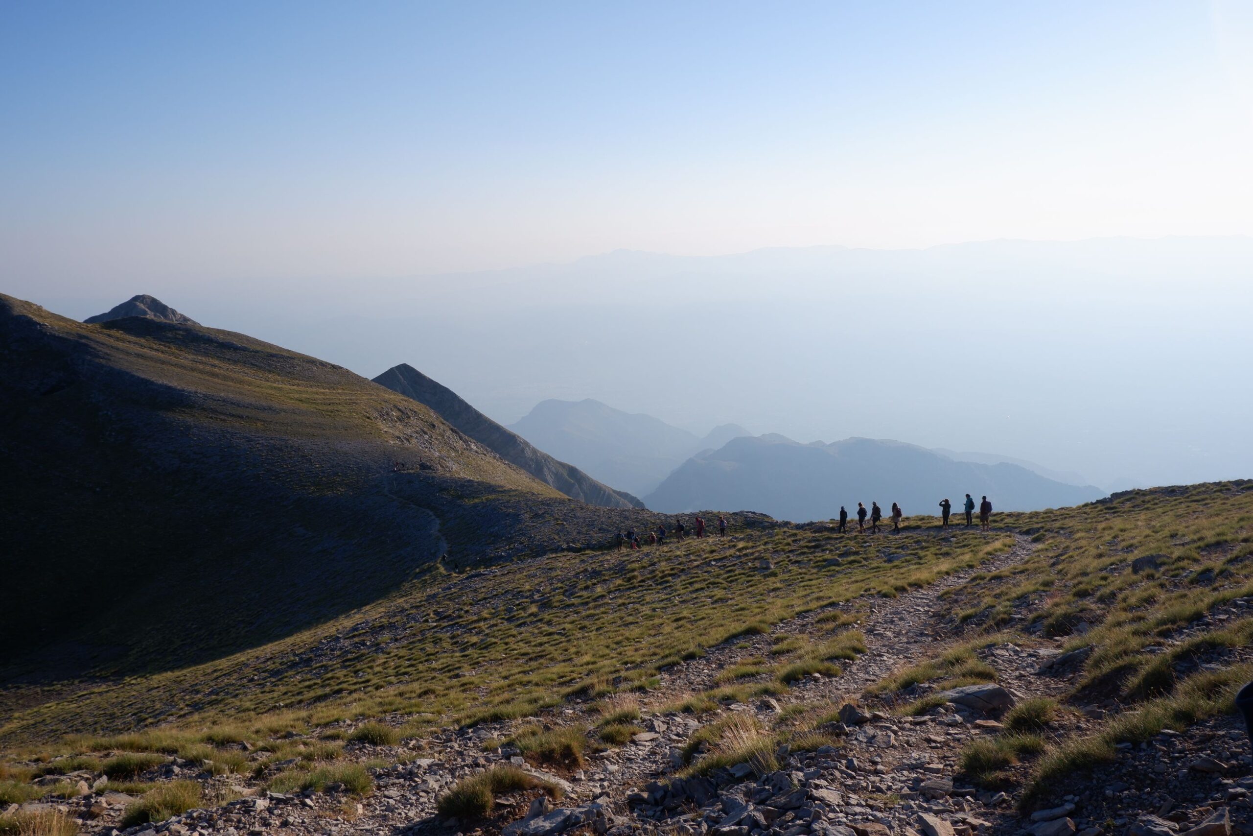
Nestled in the southern part of mainland Greece, Mount Taygetos stands proudly as one of the country’s most majestic mountains.
The mountain range lies across the Peloponnese peninsula, spanning approximately 100 kilometers (62 miles), with its highest peak, Prophet Elias, towering at an impressive 2,407 meters (7,897 feet) above sea level.
If you are into hiking, and want to discover a beautiful part of Greece (the Peloponnese) combined with some light hiking, this is the mountain to visit!

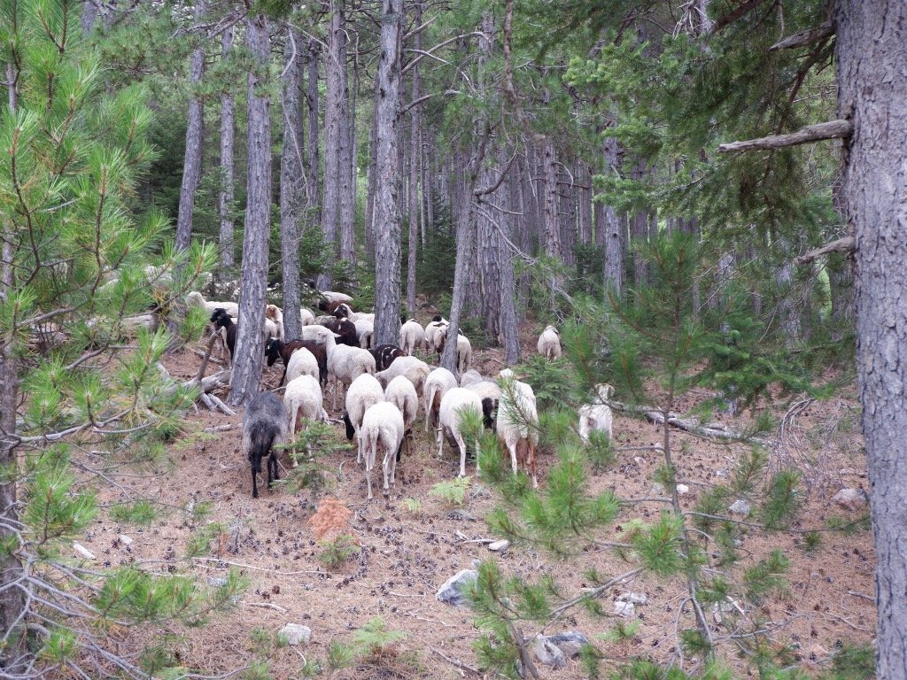
Table of Contents
ToggleWhere is Mount Taygetos?
Mount Taygetos is located in the Peloponnese region of southern Greece.
It is the highest mountain range in the Peloponnese, with its highest peak, Profitis Ilias, reaching an elevation of 2,404 meters (7,887 feet).
The range spans across the prefectures of Laconia and Messenia, near the historic city of Sparta to the east and the town of Kalamata to the west.
The most distinct feature of the mountain range visually is its “five peaks” which create a striking presence that adorns the landscape. This feature is also why it was once known as “five fingers” or “Pentadaktylos” during the Byzantine times.

What hiking routes are there on Mount Taygetos?
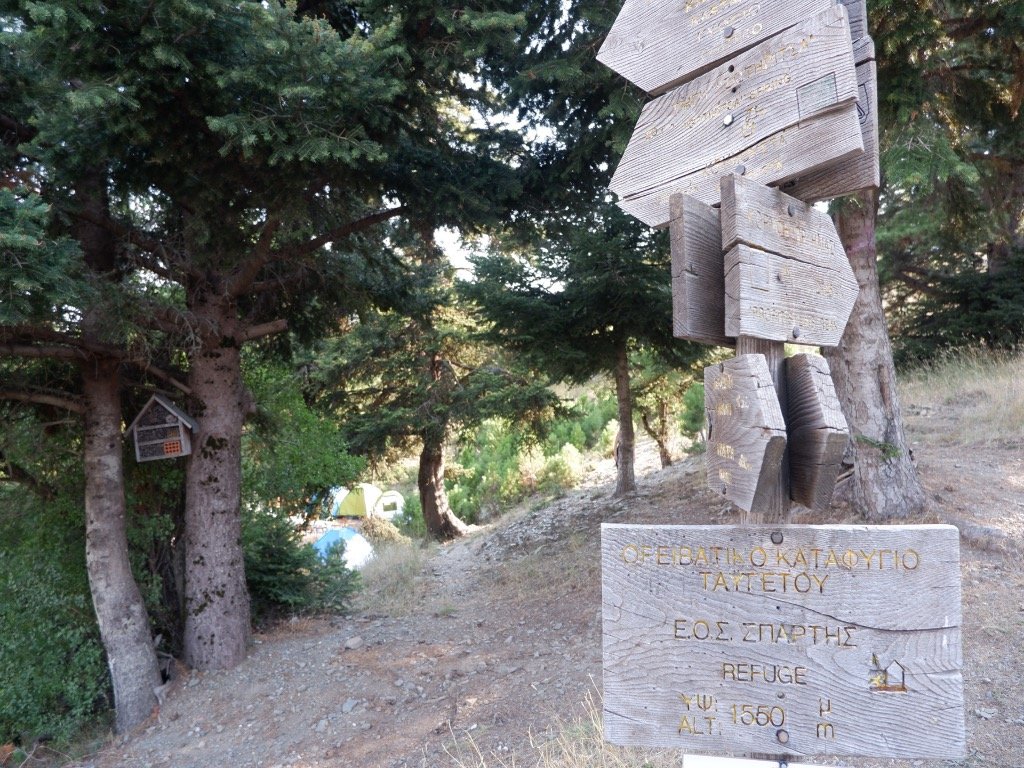
You will find various hiking routes in the mountain to suit your fitness level, time commitment, and interests. A classic route that first-time hikers choose is the path that starts at Manganiari Springs on the east side of the mountain, through a beautiful forest of fir trees and black pines and crosses through to Taygetos Refuge. From there, a steady ascent towards the peak begins, which takes about 3-4 hours of walking, and covers an altitude change of approximately 850 meters.
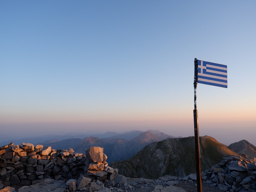
The view from the top is truly worth the hike. On a clear day, you can see all the way to Crete island in the distance and have an open horizon to the south and east of the mountains.
Travelers can also take the classical route through Trypi village on the road from Sparta to Kalamata, passing through a forest and the gorge of Lagkadas, offering stunning views.
Another option is the route from Sparta to the mountainous village of Anavriti, which leads to various scenic hiking trails toward nearby villages. Be warned, this route includes a bit of scary “on the edge” driving.
The northern side of Taygetos can be approached from Mystras, heading towards the charming village of Kastori.
Manganiari Springs to Mountaineering Hut
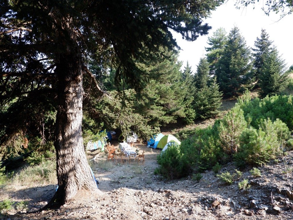
The first part of the trail from Manganiari Springs to the refuge is a relatively easy but steady climb on a dirt road. I attempted the hike with my mother and siblings and went for a guided trip with the team from Explore Messinia. The plan was to start early during midday, reach the hut, where we stayed in tents, have dinner and a night of early sleep, and start our ascend to the peak during the night so we could watch the sunrise.
We also did a side quest to a nearby cave, where you had to semi-crawl to enter.
While temperatures in Greece during the first week of August were grueling, the mountains offered a welcome escape from the heat. All was great, apart from one small detail I had somehow missed.
Only a few days earlier I had had wisdom teeth surgery, and one side of my face was swollen, making it hard to eat or breathe.
Altogether, this was not a wise choice! And one I would definitely avoid in the future.
The team was phenomenal at making me feel safe, but I did struggle with eating and sleeping which led to a very unpleasant ascent later.
Mountaineering hut to Taygetos Peak
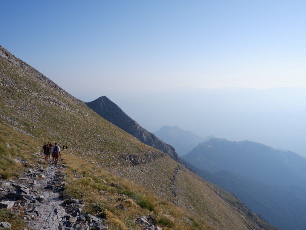
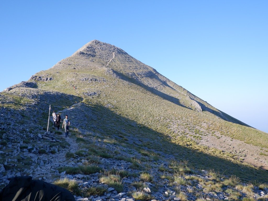
After waking up at around 2:30, we got ready and started our slow ascend to the top of the mountain. It is worth noting that this part does not require special equipment (hiking boots, a backpack, and personal items are always recommended) but we also could have arranged extra gear through the company.
The team did provide (and carry) our heavy items up to the hut, as well as food, tents, and other provisions.
Technically, the route from the springs to the top can be accomplished in one day. You just need to hit the trails early, reach the top at midday, and make your way back down to your car.
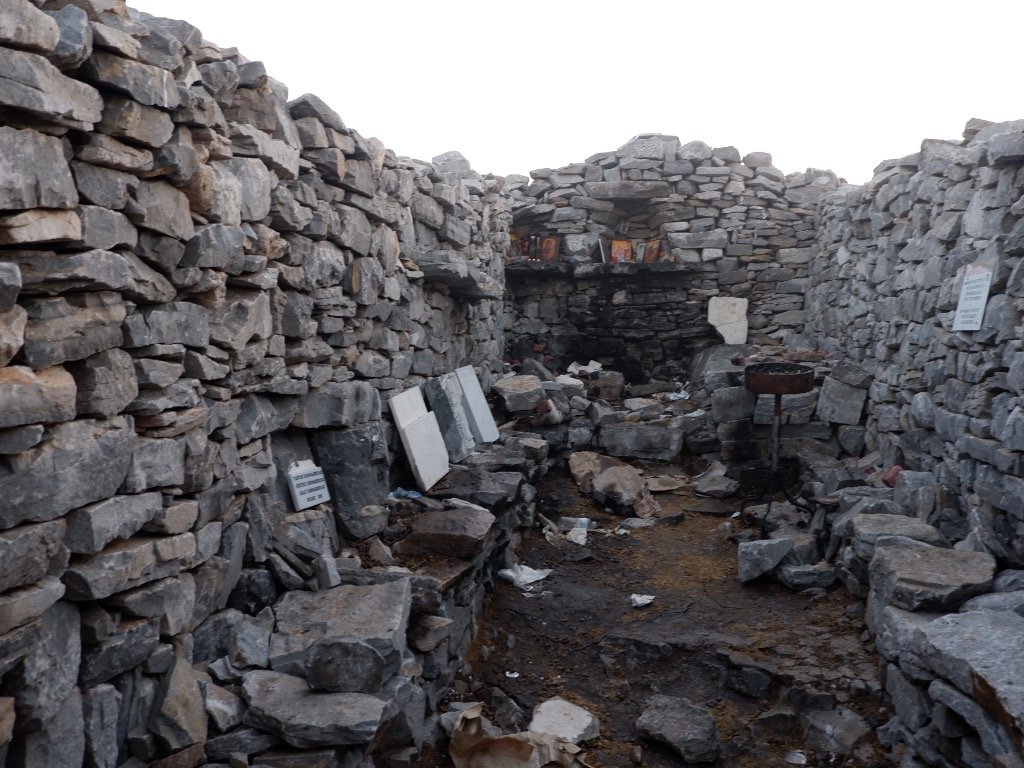
I definitely found it more enjoyable this way though, as we got to see the sunrise over Profitis Ilias church and observe the pyramid phenomenon.
Another option, that is popular with hikers is to time your visit for late evening to watch the sunset, then spend the night camping at the top. If you plan your visit for July 19-20 you can combine your stay at the summit with the celebration of Profitis Ilias (Saint’s Day) but be warned it will be a crowded spot at the top.
The Pyramid Phenomenon in Taygetos
One of the captivating natural occurrences atop Taygetos Mountain is the Pyramid Phenomenon. As the sun begins to ascend over the mountain range, the light takes on a distinct pyramid-like shape, casting a striking silhouette against the Eastern Mediterranean waters. To watch the pyramid, you want to time your visit to be there for a sunrise.

Frequently Asked Questions about hiking in Taygetos
How tall is Mount Taygetos?
The highest peak in the Taygetos mountain range is Prophet Elias, which stands at an impressive elevation of 2,407 meters (7,897 feet) above sea level. This makes Prophet Elias and the small chapel there, the tallest point in the southern Peloponnese, and the tallest mountain in the Peloponnese as well. With breathtaking views and an exhilarating hiking experience for those who venture to its summit, it is a no-brainer for hiking enthusiasts.
How fit do you need to be to hike Mount Taygetos?
As always, it is recommended to be in good physical condition. The hardest part of the hike to the summit is the last part, which is quite steep and requires some climbing to cross the scramble. There are various hiking routes and paths that are generally well-marked. The summer months are generally much better suited to amateur hikers. During spring, there might still be snow in some parts so extra care is required.
What is the history of Mount Taygetos?
Oh there is so much!
Mountains have always played a key role in Greek mythology so it is no surprise that Taygetos features in many myths and legends. According to the most popular version, Taygetos is named after the mountain nymph Taygete, one of the seven Pleiades, and a follower of Artemis. Taygete had a son with Zeus (Lakedaimon) who is regarded as the ancestor of the kings of Sparta.
During the Byzantine times, its strategic location played a crucial role and is probably most well known for the city of Mystras, which served as the capital of the Byzantine Despotate of the Morea. Over the next years, the mountain witnessed the rise and fall of various powers. The Venetians occupied the area, villages and most notably the kingdom of Mystra nearby from 1687 to 1715, leaving a mark on its historical legacy. During those times and later under Ottoman occupation, the steep slopes and inaccessible mountainous areas, offered shelter to rebels and those escaping religious prosecution.
In modern times, Mount Taygetos has become a popular destination for hikers and outdoor enthusiasts and is ideally located for international visitors to the country. From Athens, it takes a bit over 3 hours to reach the mountain.
Should I visit in the summer or winter?
There are no ski resorts or designated skiing areas on the mountain. Taygetos is also not known for winter sports, and its activities primarily focus on hiking and outdoor exploration due to its natural beauty and historical significance. Visitors to Taygetus can enjoy hiking trails and villages, diverse flora and fauna, and captivating landscapes during the summer months. There are various historical ruins, including fortresses, palaces, churches, and monasteries, nearby that have been recognized as UNESCO World Heritage Sites, adding to its appeal for history enthusiasts and nature lovers.
Is the trail to Prophet Ilias technically difficult?
The trail starts as a comfortable, well-trodden forest path and later turns into a rocky trail, making it accessible for an average hiker, but the altitude gain can be physically challenging if done in one day.
Is there a specific map or guide available for hiking on Mount Taygetos?
Yes, the whole area is covered in the Anavasi map of Northern Taygetos including the trail from Manganiari Spring to Profitis Ilias and detailed information on another 18 trails in the larger area. Overall, unless you are attempting a multi-day hike, the trails are well signposted so you wouldn’t need a physical map.
If hiking solo, follow safe mountaineering practices and carry both a physical and digital map plus a navigation system.

How should I prepare for an overnight stay at the summit?
For an overnight stay at the small church of Prophet Elias, you should watch the weather forecast for windless nights, bring proper camping equipment, warm clothing, and at least 3 liters of water as there are no springs along the trail.
ESSENTIAL INFORMATION
Must Know When Visiting Greece
- Emergency: Dial 112 for all emergencies. For police, dial 100. For ambulance 166. For fire dial 199.
- Language: English is widely spoken in most tourist areas. Common phrases to learn are “Kalimera” (Good morning), “Yia” (Hello and Bye – informal), and “Efharisto” (Thank you).
- Water: Tap water is safe in Athens, mainland Greece and a small number of islands. Always ask beforehand.
- Driving: Right-hand side, international driving permit recommended. Book your rental car with Discover Cars for the best rates and comparisons across all major and local companies.
- Accommodation: Booking.com for the most options on hotels, apartments and hostels. Free cancellation in a lot of places and no need to pre-pay. Great for their rewards points system.
- Islands: There are a lot of islands, spread out around the country. Start with a map or ferry service to get an idea of travel times. Ferry Scanner is the best for ferry bookings to the Greek islands.
- Activities: From cultural sights to day trips, food tours and city guides, use Get Your Guide.
- Public Transport: For Athens, use the Athens Metro. If you are not renting a car, use Trains (Hellenic Train) or KTEL (Public Buses) services.
- Domestic Airlines: The main airlines for air travel are Aegean Airlines and Sky Express. I recommend Aegean Airlines and its rewards program.
- Taxi: Always use a taxi app, instead of flagging down a taxi from the road. Use FREE Now (formerly BEAT).
- Culture: A siesta nap is still common in less touristy areas. This also means businesses will close between 2 PM – 5 PM. Except for hospitality businesses, everything is closed on Sundays.

